Gulberg Greens
Explore the Greens layout, search by plot number and select plots to view available details.
Open Greens web map →
Explore Gulberg Greens and Gulberg Residencia complete maps, separate Residencia block maps, interactive layouts and layout-plan references.
EXPLORE ONLINE
Open a map to zoom into the layout and explore it over satellite imagery.
Explore the Greens layout, search by plot number and select plots to view available details.
Open Greens web map →Explore the complete Residencia layout, zoom into blocks and adjust the map overlay.
Open Residencia web map →GULBERG GREENS • COMPLETE MAP
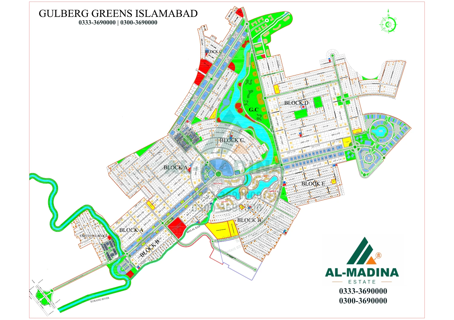
Explore the complete Gulberg Greens map with block labels, plot references and the road network. Select the preview or open the PDF to zoom in.
Sale / Purchase · Contact 0333-3690000 | 0300-3690000
GULBERG GREENS • LAYOUT PLAN
View the Gulberg Greens revised and extended layout plan dated September 2023, showing the block layout, road network, land-use details and location plan.
Map copy credited to Al-Madina Estate. Refer to the current authority record for approval status.
PDF · 1 page · 26.6 MB · Open the PDF and zoom in to read plot details.
GULBERG RESIDENCIA • COMPLETE MAP
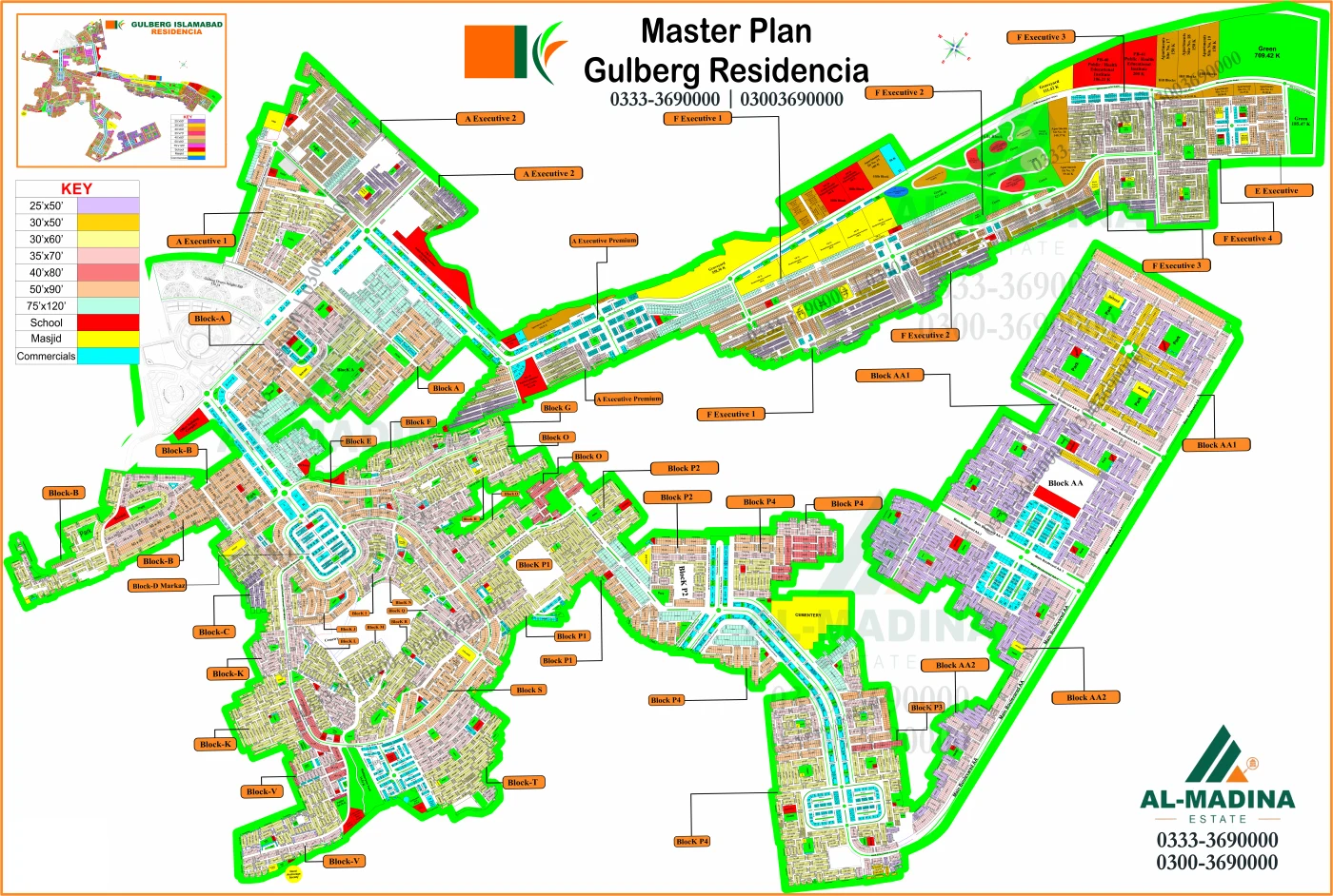
Explore the complete master-plan map in one place, including block labels, roads, plot references and the colour legend. Open the PDF and zoom in for detailed viewing.
Reference map credited on the image to Al-Madina Estate. For the approved layout-plan reference, see the separate 2023 LOP below.
PDF · 1 page · 58 MB · Full-resolution web copy
EXPLORE BLOCK BY BLOCK
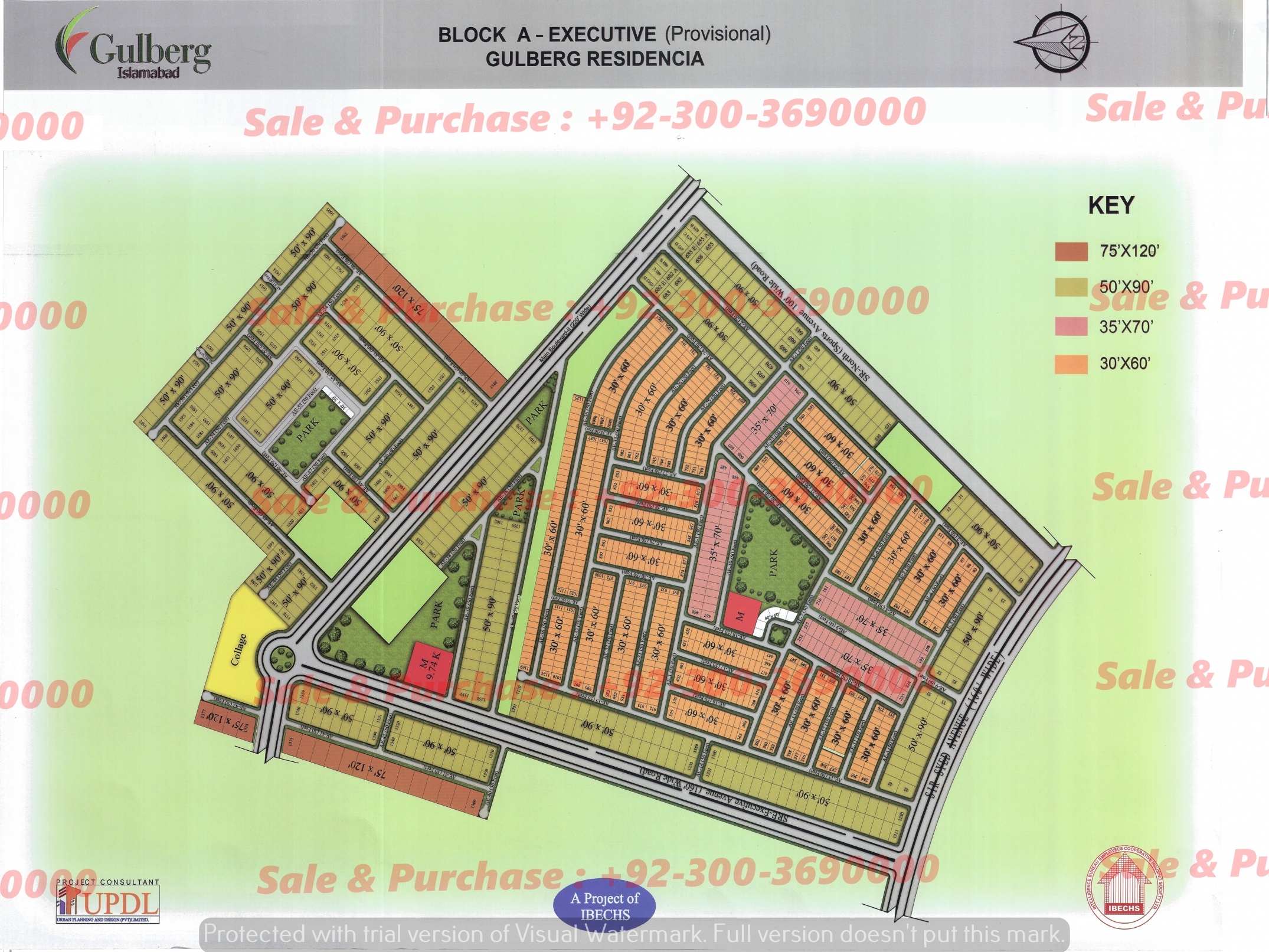
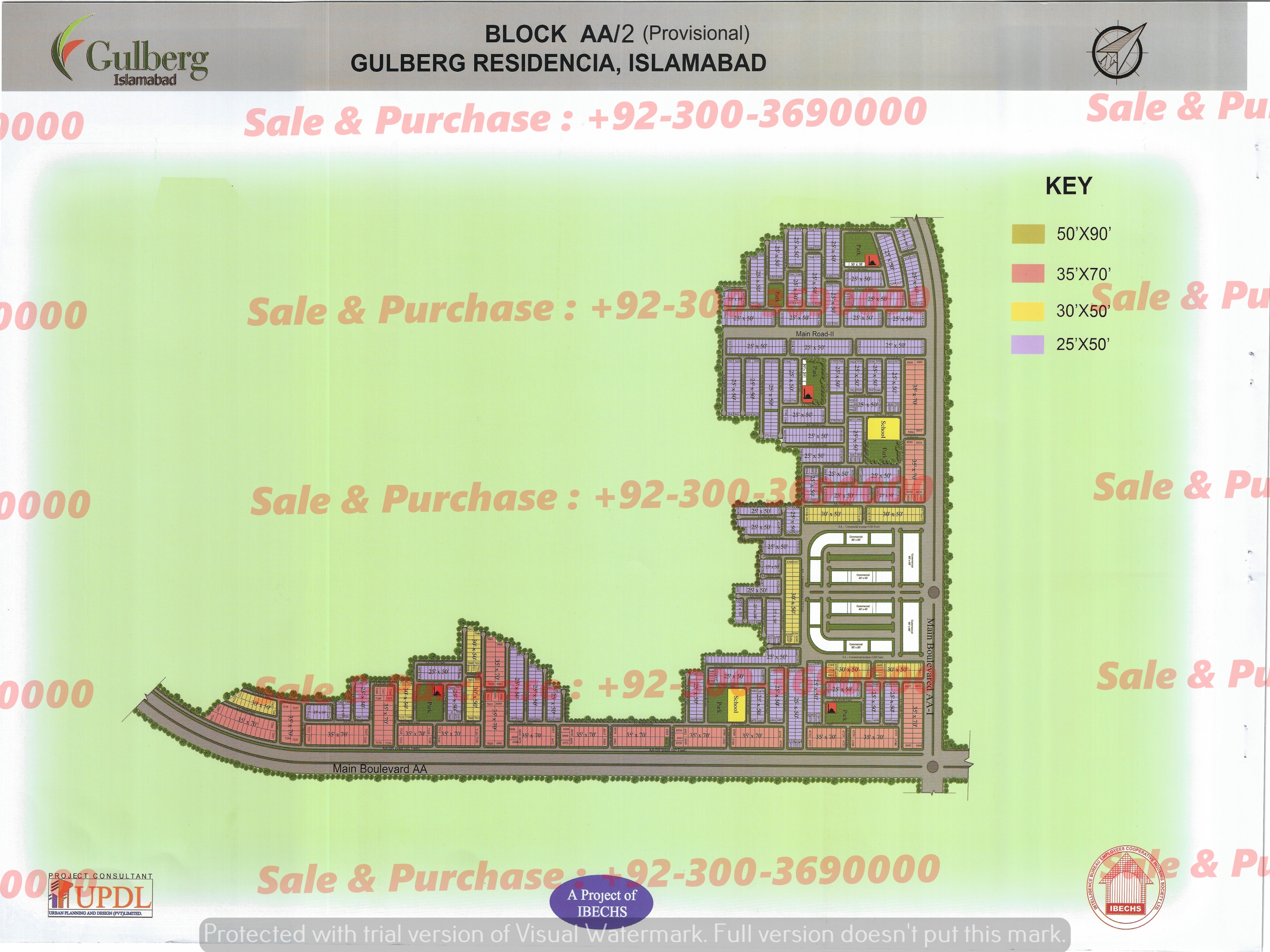
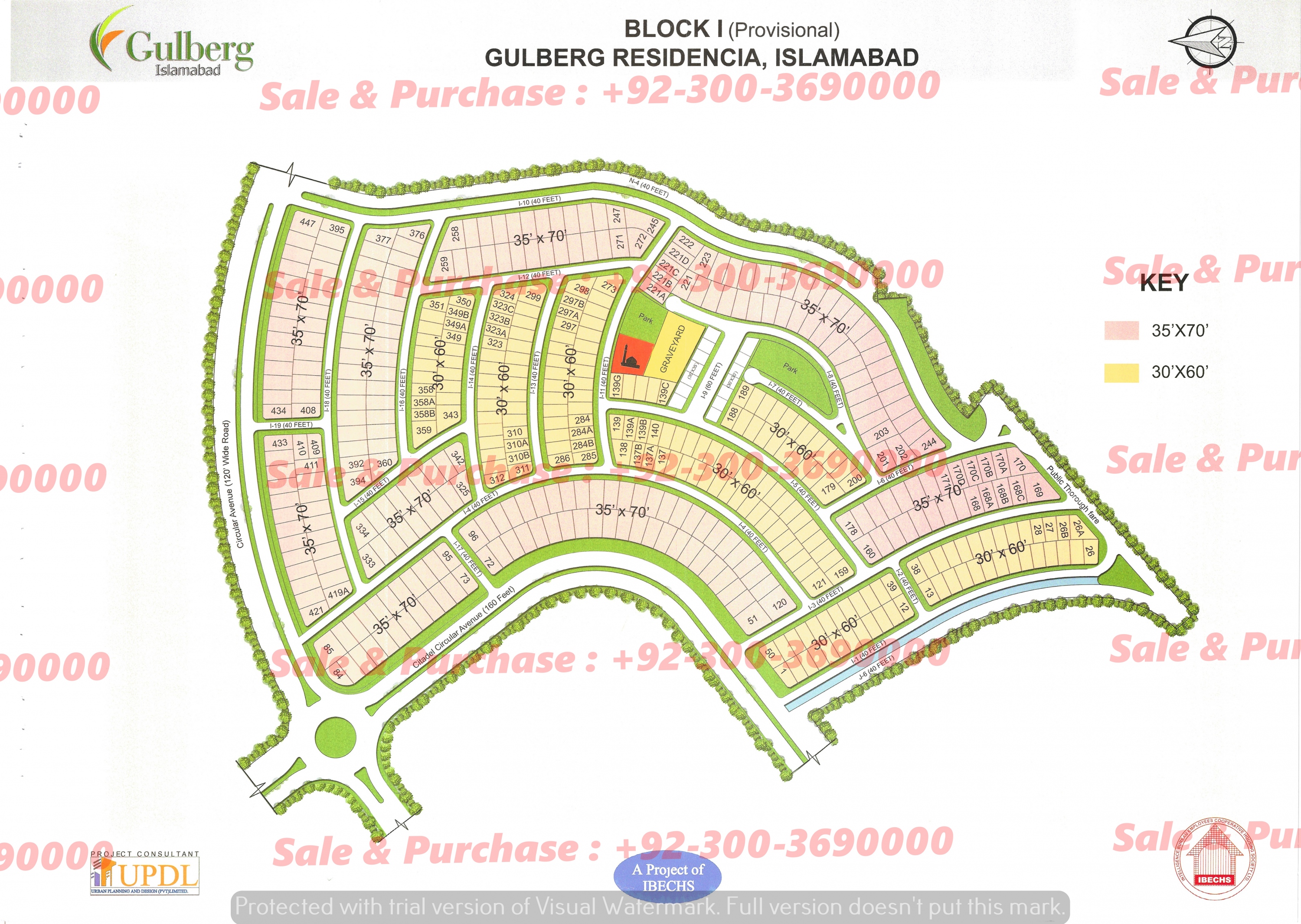
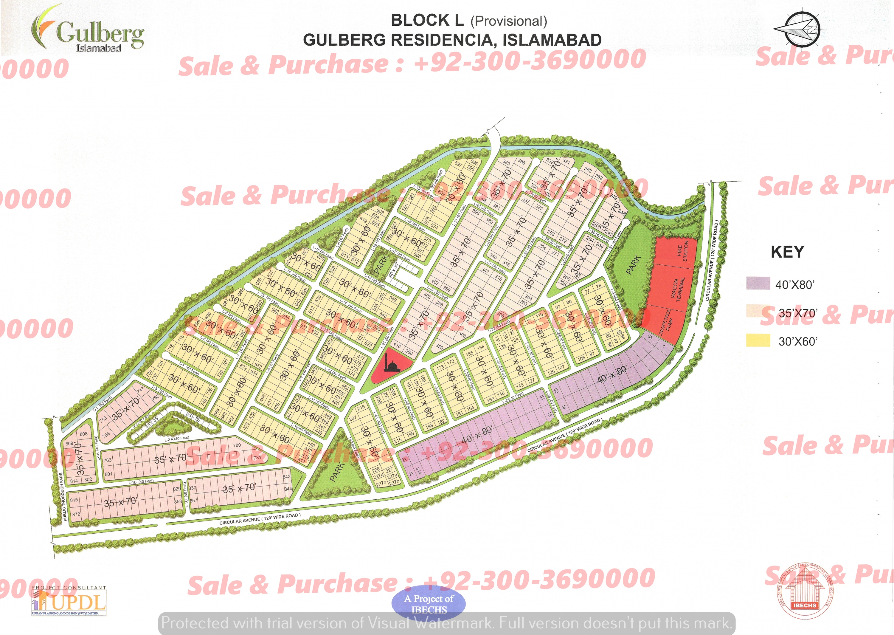
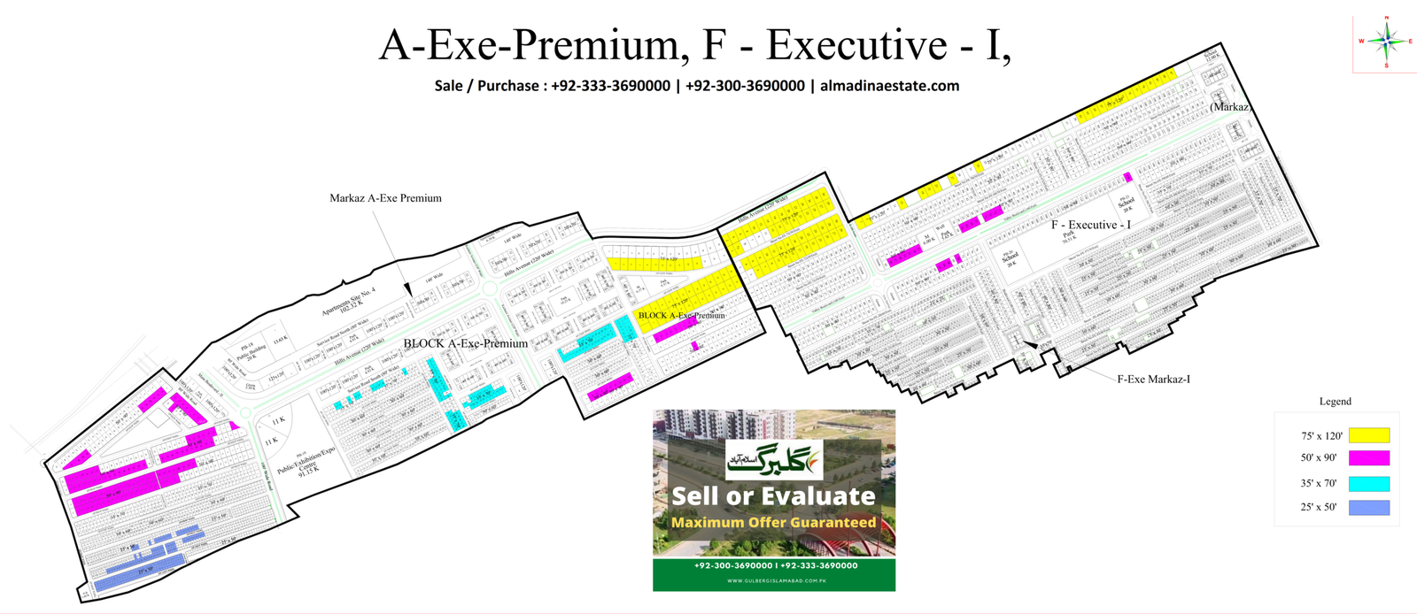
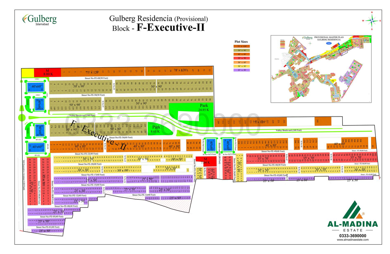
Browse individual Gulberg Residencia block layouts. Open a preview for a larger image, use the interactive map, or read the block guide.
No maps match your search. Try another block name.
Residencia reference images are supplied from the Al-Madina Estate map collection. For approved planning documents, see the layout plans below.
GULBERG RESIDENCIA • OVERALL LAYOUT PLAN
View the revised and extended layout plan of Gulberg Residencia (IBECHS Phase III), including the overall block layout, road network and land-use legend.
PDF · 1 page · 1.8 MB · Use your PDF viewer’s zoom controls to inspect the plan.
Most confusion about Gulberg maps comes from treating every map as the same kind of document. Before relying on one, identify which kind it is.
| Map type | Answers | Weight |
|---|---|---|
| Approved layout plan (LOP) | How the scheme is planned: blocks, roads, plots, amenity and open spaces | Official record |
| Revised or extended layout plan | How an approved plan has changed; supersedes earlier versions for the area it covers | Official record |
| Public web map | Where the area is, and current routes and journey times | Local reference |
| Informal block or brochure map | Rough orientation only; often simplified and undated | Dated observation |
Official recordAs of 15 September 2026, CDA’s public records include the following plan documents:
Always open the plan from the CDA record rather than from a copy, so you know you are looking at the version CDA currently lists.
Local referenceFor orientation, directions and live journey estimates, search the scheme names in a public map service:
Web map outlines and labels are contributed or generated by the map provider. They are good for finding your way, not for confirming a boundary.
No map on its own verifies a plot, a boundary or title. Plot allotments and transfers in private schemes are handled by the scheme sponsor, and CDA notes that it has no involvement in them. For any legal or transaction question, consult the current official record and the relevant authority.
TELL US ABOUT YOUR PROPERTY
Share your property details and contact information with our team.